This December, GAIA Exploration will attend Resourcing Tomorrow 2026 in London. At stand D28, we will demonstrate the GAIA Geoscience Agent Platform, introduce our four proprietary exploration models and use overseas projects to discuss with mining companies, exploration teams and investment partners how existing information can guide the next step.
01From the Royal Agricultural Hall to a Mining Venue
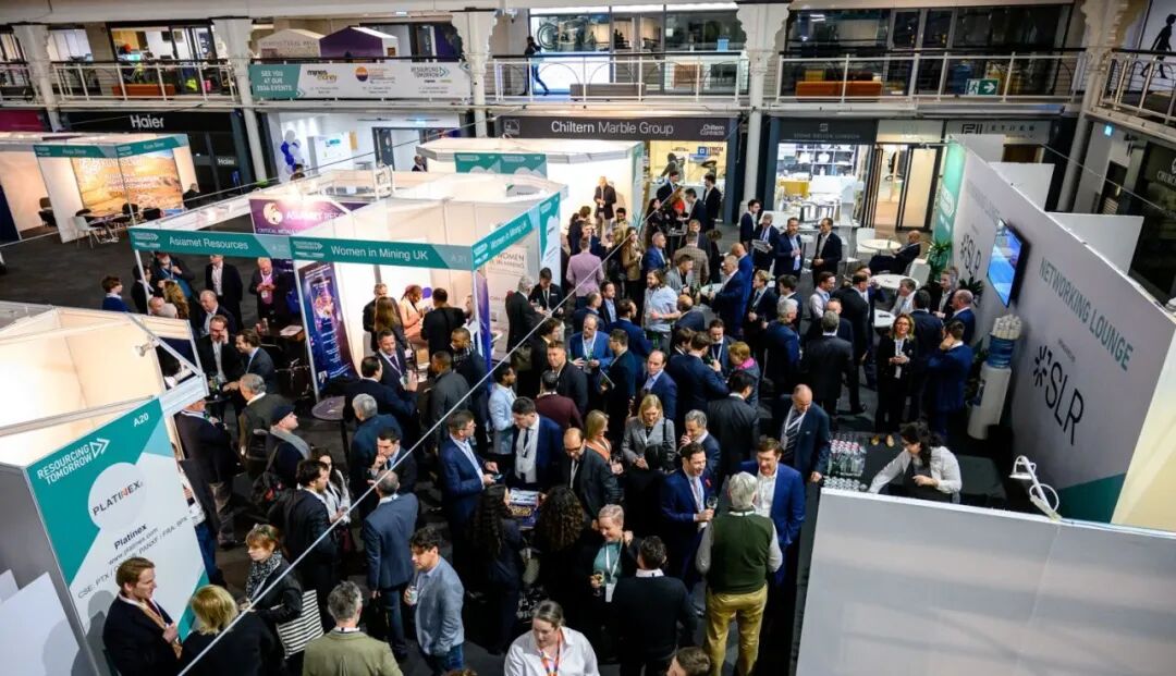
The Business Design Centre in Islington, London, began as an agricultural exhibition hall opened in 1862 and later became known as the Royal Agricultural Hall. After restoration, the building reopened under its present name in 1986. This December, mining companies, investors, government representatives and technical teams will meet here.

Resourcing Tomorrow is a global mining conference and exhibition covering critical-mineral supply, mining finance, project development and technology innovation. For exploration teams, these discussions ultimately come down to a project decision: what should the next exploration investment verify first?
How a Report Supports a Decision
A historical geological report records anomaly locations, a geophysical dataset provides clues about subsurface structure, and maps from different periods each use their own coordinates and scales. Can these clues corroborate one another? Could an anomaly be affected by sampling coverage? Which interpretations are worth checking in the field?
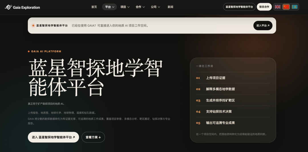
At D28, we will use demonstration data to show how the GAIA Geoscience Agent Platform handles such tasks. When comparing two candidate targets, for example, the platform can help organize historical reports and analyse geochemical, geophysical, remote-sensing and spatial data together. Geologists then return to the sources, review key assumptions and decide which target should be visited first, where additional sampling is needed and which questions should be left for drilling to test.
Four Models, Four Questions
Greenfield Exploration Model | Where Should We Look First Across a Large Area?
The model integrates regional geology, remote sensing, geochemistry and geophysics to compare areas where multiple exploration indicators coincide and rank priorities for the next round of field reconnaissance and sampling.
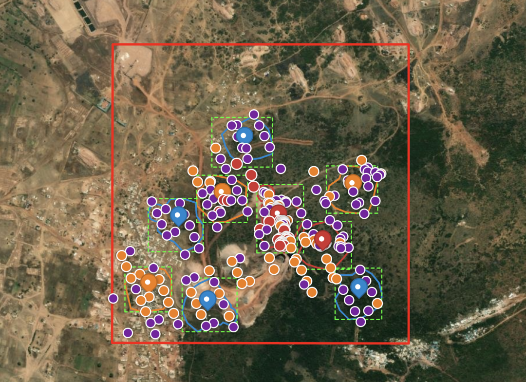
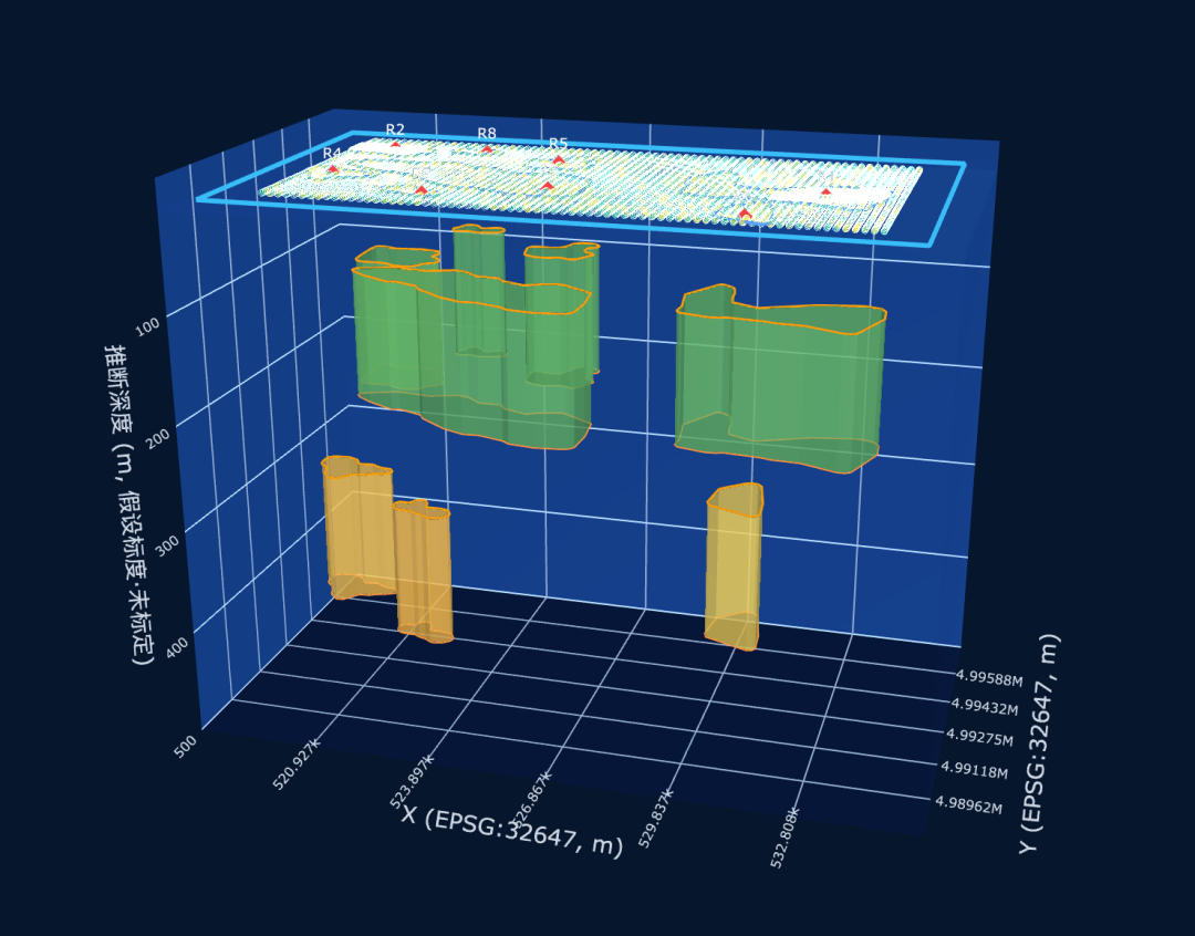
Deep Exploration Model | Where Does Known Mineralization Continue?
Known mineralization, faults, alteration and geophysical responses are brought into one spatial framework to compare alternative continuation models and define the locations and geological relationships that deeper work needs to test.
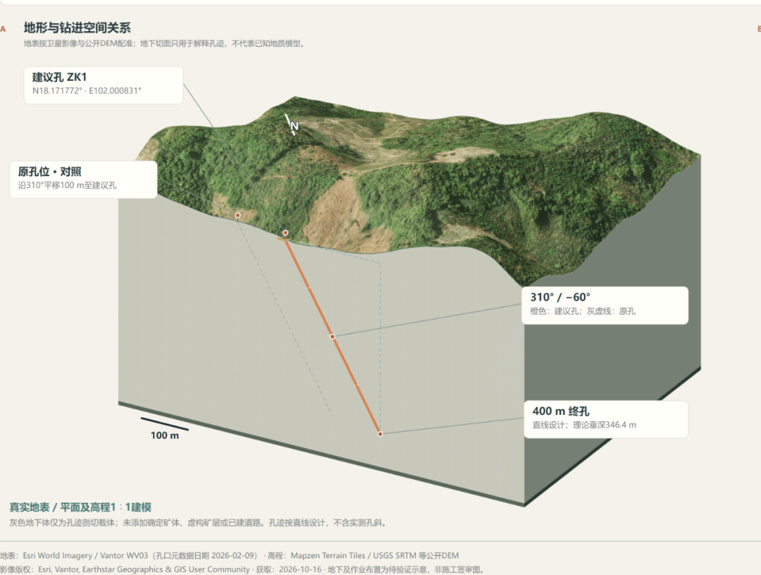
Drilling Optimization Model | What Should the Next Hole Answer?
If the first holes show that the dip of an ore-controlling structure differs from the original interpretation, the team must compare the remaining collar locations again. The model combines core logging, assays, downhole surveys and barren-hole results to assess what each candidate hole can test, then considers hole depth, site access and construction constraints in the comparison.
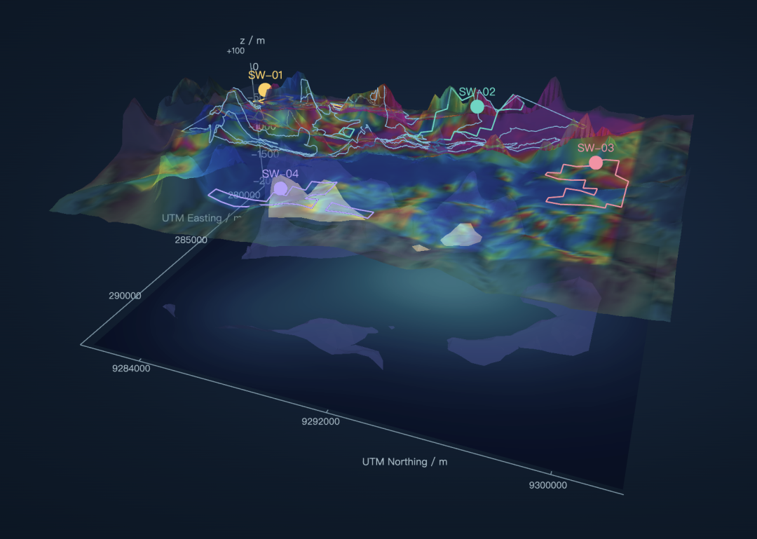
4D Spatiotemporal Inversion Model | How Should the Subsurface Interpretation Change When New Data Arrive?
As geophysical, drilling and other data from successive stages are added, teams can retest the subsurface structural interpretation, identify which earlier inferences are supported and which need revision, and decide which uncertainty should be reduced first in the next stage.
Sovereign AI and Local Deployment
When a mining company introduces geoscience AI, it must first determine where project information will be stored, who can access it and how the technology will connect to existing systems. At D28, GAIA will discuss API integration and how private deployment in an environment selected by the client can be evaluated against project requirements, with clear arrangements for data storage, access control, operations and maintenance.
On that basis, companies can organize years of geological reports, exploration records and project experience into reusable internal knowledge supporting exploration analysis, project review and technical due diligence. The basis for analysis remains traceable, while critical technical judgments are reviewed by professionals.

How Are Model Judgments Tested?
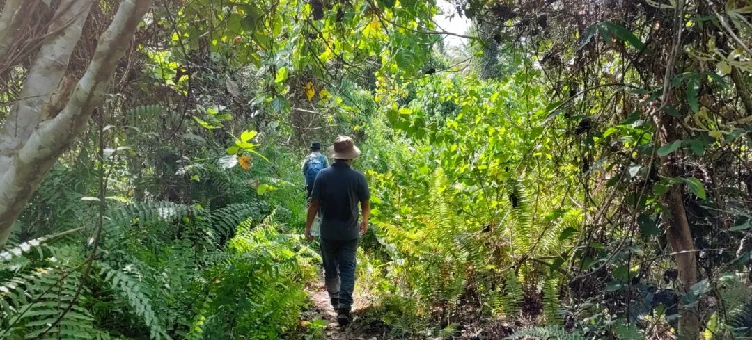
At the Hulubalang gold project in Central Sulawesi, Indonesia, GAIA serves as a technical partner. Building on existing gold-exploration information, the team combines regional structure, geochemical anomalies, remote sensing and geophysics to study extensions of gold mineralization and select areas for further verification. The team is also investigating the possibility of a deeper porphyry copper system, an exploration direction that still requires further geological investigation and drilling tests.
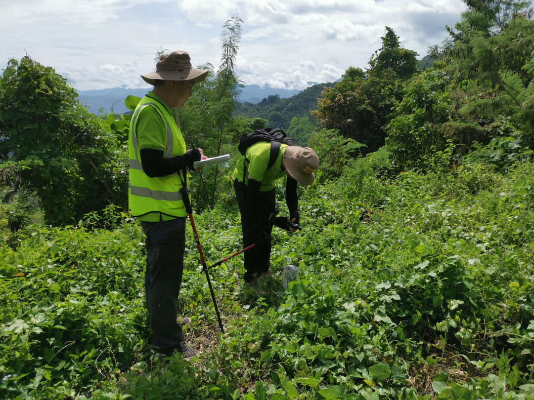
GAIA's licences and project footprint span the Middle East, Africa, Central Asia and Southeast Asia. Greenfield projects can begin with regional screening and ground verification, while projects with drilling can focus on deep targets or the next drilling campaign. Where long-term cooperation is suitable, we can also discuss joint exploration, joint ventures or joint operations, as well as Earn-In structures through which agreed investment progressively earns project interests. The four proprietary exploration models are applied through joint venture (JV) or joint operation (JO) project cooperation.
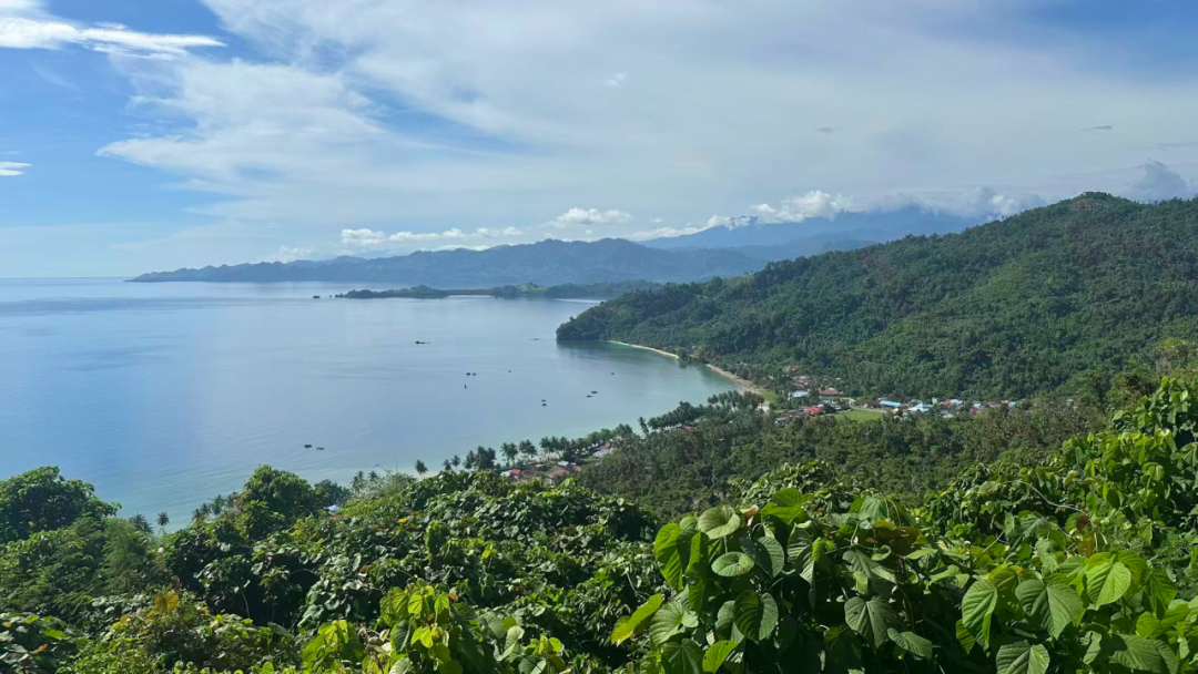
Bring One Question—See You in London
If you are exploring around an existing mine, evaluating deep targets or preparing the next drilling campaign, bring one specific question to D28. Mining companies and exploration teams can book a platform demonstration and technical discussion, while licence holders and investment partners can discuss project evaluation, staged verification and cooperation arrangements.
Event | Resourcing Tomorrow 2026
Dates | 1–3 December 2026 (London local time)
Venue | Business Design Centre
Address | 52 Upper Street, London N1 0QH, United Kingdom
Stand | D28 · Gaia Exploration Technologies Pte. Ltd.
Booking | sales@gaiaexplor.com
See you at D28 in London this December.