Earth System Modeling
Regional tectonics, magmatism, hydrothermal fluids, alteration, lithology, metallogenic events and known mineralization are integrated into one reasoning framework.
GAIA turns complex resource discovery into an interpretable, auditable and continuously improving AI geoscience system.
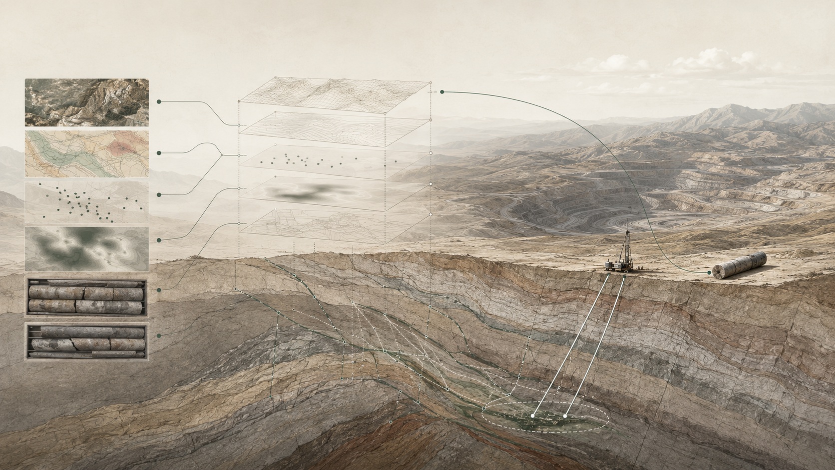
It is multivariable, strongly constrained, uncertain and dependent on field feedback. GAIA’s technology is built to understand geological systems, not only to score pixels or anomalies.
Each layer connects data science with metallogenic theory and exploration practice.
Regional tectonics, magmatism, hydrothermal fluids, alteration, lithology, metallogenic events and known mineralization are integrated into one reasoning framework.
Remote sensing, geophysics, geochemistry, drilling and historical reports are learned as geological representations that reveal structure, contact zones and mineralization similarity.
GAIA infers deep mineral centers, fluid pathways and blind orebodies from structural context, alteration, geophysical anomalies and known mineralization.
Four-dimensional spatial-temporal modeling helps infer metallogenic processes, orebody geometry, deep extension directions and resource growth paths.
Sampling, geophysics, drilling and field conclusions continually update the system so each exploration campaign becomes training for the next.
Specialized agents can help organize reports, compare models, rank targets and prepare decision-ready exploration recommendations.
It is a continuous process of understanding, validating and rebuilding the Earth system.